The Welsh Coast to Coast Triathlon Challenge
The Dai-athlon
Since taking part in the New Zealand south island 'Speights' Coast to Coast it's always been my ambition to do a continuous triathlon 'coast to coast' in Wales. Because we have no coast as such on the eastern side of the country the Welsh coast to coast must be from north to south or vica versa. It's a couple of hundred miles at least but the difficult part is the logistics rather than the actual completion of a course. As the years have gone by and my racing attitude has mellowed and as I approach 60 nowadays it's a case of completing a course rather than doing things as fast as possible, it's the taking part that counts, honest. ☺☺☺☺☺☺☺☺ Why Dai-athlon ? Because the patron saint of Wales is St David (St Dai for short) and my name is Dai as well so the Dai-athlon fits all around, for me it does anyway. THE ROUTE Start - Llanlleiana Head, the northernmost point of mainland Anglesey Finish - Rhoose Point, the southernmost point in Wales Apart from the start and the finish it's undecided what the final route is to be because if we see something we like in preparation or on the actual day itself, we'll change the route to suit ourselves. THE RULES Each leg will comprise of 3 sections, 1 swim, 1 cycle & 1 run, these can be in any order and can be of any length. A walking transition can be included before, after or in between each section as required to ensure the continuous nature of the Challenge. Each leg must start at the finish of the previous leg or intersect the previous leg's route at some stage ensuring that the Dai-athlon is a continuous route from start to finish. |
19th May 2015 - LEG 1 - North to the Island Church
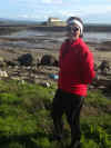
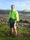
The northernmost point of Wales is Middle Mouse which is an island off the coast of Anglesey. Although it looks to be just a couple of miles round swim from the mainland I wouldn't want to be doing it without a kayaker as safety cover. This is just in case a speedboat or something similar is buzzing about in the area, swimmers are not so visible as a kayak. We started the Dai-athlon at the northernmost point of mainland Anglesey which is the tower on Llanlleiana Head. I didn't visit the area beforehand so was unsure where the swim would take place.
On the map Porth Llanlleiana looked a possibility but it was far too bumpy so we walked 3 miles of the coastline to our backup swim location Cemaes Bay. With the tide full in even here it was a bit bumpy but after a cup of tea out of the hailstones the tide retreated enough for us to do a short swim in the bay. The Dai-athlon was truly underway.
The sea was quite cold as was the air temperature so a ton of clothes went on and we headed off down the A5025 towards Holyhead, it was interesting to note that the name of almost every village on the way began with Llan, the Welsh for 'church of' and one of the only English names we saw was Church Bay, a very religious place is Anglesey. We reached Trearddur Bay on the coast and did a circuit of Holyhead before cycling up to South Stack lighthouse. From South Stack we followed the coast road back to Trearddur Bay, this was a fantastic ride, mostly downhill with a good surface and great views, then it was back onto the main road and down the A5 and A4080 to Rhosneigr, thankfully with the wind behind us.
We then walked and run to Aberffraw Bay This course was chosen because I wanted to visit St Cwyfor's Church on Cribanau Island. This 12th century church is cut off when the tide is high so timing the run for low tide was a key element to this visit.
For more on this church please click on the link below. http://www.anglesey-history.co.uk/places/churches_and_chapels/Llangwyfan/index.html
We finished the leg at Aberffraw in a total time of 7 hours 13 minutes from Llanlleiana Head to Aberffraw. A good day out and a fantastic start to the challenge. Dai-athlon - Leg 1 on a landlubber non-swimming Garmin ... ...
|
20th May 2015 - LEG 2 - Anglesey Coast to Coast
For Leg 2 of the Dai-athlon we plumped for an Anglesey West to East Coast
triathlon. Starting at the Aberffraw Bay, near where yesterday's triathlon
finished we swam an out an back course across the bay, about 700 metres in
total, the water was touch frosty but the swim was far more pleasant than
yesterday. We knew from a recce of the beach the previous day that there
were no rocks on the beach.
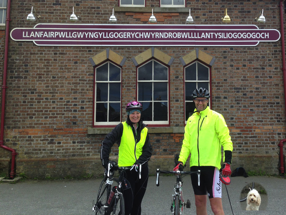
From the beach we walked to the transition area near Aberffraw bridge before posing for a few photos and riding to yesterday's finish line to keep the continuous line. Again we had the wind behind us so life was easyish on the road and we headed across the island to Beaumaris Castle with a detour through................ wait for it.................... here it comes....... Llanfairpwllgwyngyllgogerychwyrndrobwllllantysiliogogogoch ............ try saying that with a mouthful of your favourite digestive biscuit and thanks to the lady from Bangor who was taking her dog Fergie for a walk before she was rudely interrupted by some triathlon tourists. Once at Beaumaris we dropped off the bikes, and headed off towards Puffin Island on the east coast. The coastal path here was mostly on the pebbled beach with the last mile on the road.
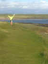
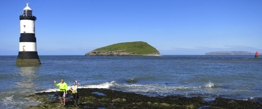
One interesting rocky section had a lecturer with a group of university students investigating the local geology. I had to interrupt the lesson to ask them that age old important question 'Excuse me - is this the way to Amarillo ?' and as we moved we could hear the chorus being sung our new best friends so we did a quick 180 and returned to join them for a top rendition of this classic song. Most of the last mile was uphill past Penmon Priory, before we reached the end of our leg at Penmon Point near the Trwyn Du Lighthouse and Puffin Island, pictured above, on the right hand side of the photo is the Great Orme at Llandudno. Total time 4.52. For information on Trwyn Du Lighthouse - CLICK HERE For information on Puffin Island - CLICK HERE Dai-athlon - Leg 2 on Garmin ... ... |
CLICK HERE TO EMAIL Dai Richards @ PERSONAL TRAINER WALES